Pech de l'Azé IV - Bordes' Collection
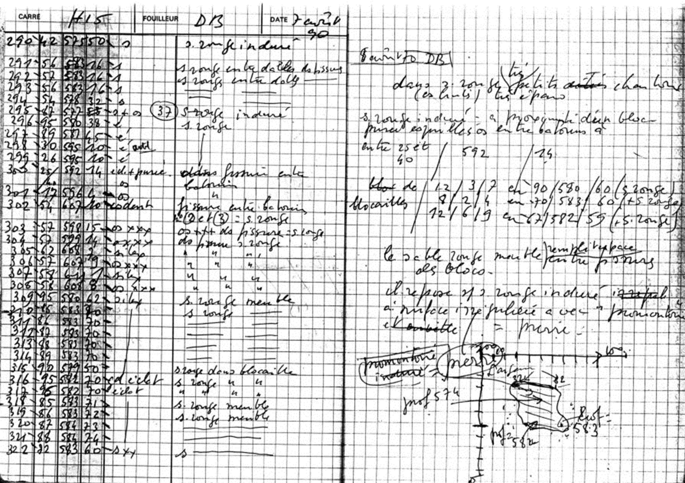
The field notebooks contain the coordinates of all of the numbered artifacts (88,740 entries), as well as sediment descriptions, level assignments, and figures and plans drawn by the individual excavators. These data were hand-entered into a computer database.
Thus, for each artifact there is information on its square, id number, X (relative to west edge of square), Y (relative to south edge of square), and Z (relative to site datum) coordinates, a code indicating type of artifact (retouched tool, flake, core, tooth, etc.), sediment description as recorded by the excavator, level assignment (if noted), excavator name and date of excavation.
The coordinate data were modified to correspond to a global grid system for the site as a whole relative to the original site datum (rather than coordinates relative to each square). We were able to do this in part because we relocated Bordes' 0 elevation point in the site.
Both as a means of archiving the notebook information and to facilitate editing of the entered notebook data, each notebook page (2502 pages) was scanned in a high-resolution format. We hope to provide these images on-line here so that all researchers will have access to the original notebook files.